As a lifelong resident of the Colorado Front Range and High Plains, I’ve been fascinated by archaeology and history since I can remember. I spent much of my youth visiting nearby public lands in Colorado, Nebraska, and Wyoming, learning about natural and cultural history. I entered the Colorado State University Anthropology program out of high school and never looked back. I was lucky enough to learn from Drs. Larry Todd and Jason LaBelle at Colorado State University and cut my teeth in cultural resource management under Dr. Nicole Branton, Sue Struthers, and Mountain Heritage/TEAMS Archaeology (US Forest Service).
The more I worked in archaeology, I realized how much freely accessible information was available and not typically leveraged in cultural resource management. I focused on remote sensing and geography to understand essentials of place, context, and integrity of cultural resources and to explore ways to minimize destruction to cultural resources through archaeological investigation. My remote sensing obsession started in an introductory GIS class where I learned about declassified satellite imagery from the CORONA program, developed by the Central Intelligence Agency to provide imagery of the Soviet Union during the Cold War. The stories embedded within that imagery and were eye opening. Within weeks, Dr. Sarah Parcak’s book Satellite Remote Sensing for Archaeology was released and I was hooked on space archaeology.
I attended the University of Denver for a masters degree in Geography, continuing to use remote sensing to study cultural landscapes. My research used satellite imagery to map impacts of historical land use changes in the lower Amazon River floodplain (Pará, Brazil) an area that’s been intensively occupied for over 12,000 years. I also worked in the Atlantic Rainforest (Minas Gerais, Brazil) studying land tenure and recovering colonial mining and agricultural landscapes through optical remote sensing. My specialty has been combining multiple data sources and geospatial data models to maximize available information.
I landed in Boulder in late 2014 through my current job as an archaeologist for the City of Boulder’s Open Space & Mountain Parks Department. For over four years with the City of Boulder, I worked in planning, permitting/cultural resource law compliance, public education, and a bit of paleontology. In my time, I tried to practice community archaeology. In late 2018, I began working for the National Renewable Energy Laboratory as a Geospatial Data Scientist.
IPCAS has been a great partner organization for community archaeology in Boulder and Boulder County. I’m looking forward to working with IPCAS members through City of Boulder’s Site Stewardship program and long term research at White Rocks in eastern Boulder County. If you want to keep up to date on my work activities, feel free to check out my personal blog, Electric Eye (kewaechter.blogspot.com), and personal Sketchfab page (sketchfab.com/kewaechter).
You can see my handiwork on the IPCAS website, social media, and 2018 editions of the Calumet.
Happy trails!
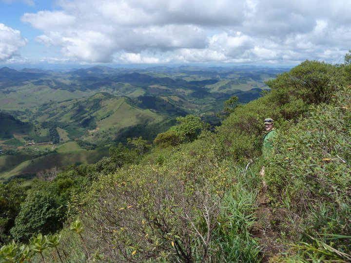
Katy climbing Pico da Graminha (Serra do Brigadeiro State Park, MG, Brazil)